Resources for Online Education
Lecture & Course Materials

CUAHSI's Hydrology Guest Lecturer Database
CUAHSI has created a listing of water science professionals who have volunteered to provide virtual guest lectures. Search the database by author, title, or subject key terms to find a guest lecturer for your classroom.

HydroShare Collection: Educational Resources for Hydrology & Water Resources
Explore course materials shared by colleagues and add your own with a free HydroShare account.

Science Education Resources Center (SERC)
This collection of Learning Units for Data and Model-driven hydrology education uses CUAHSI's HydroClient to find and analyze data.
HydroLearn is a platform to share, develop, and find learning modules for hydrology and water resources education.
HydroLearn is a platform to share, develop, and find learning modules for hydrology and water resources education.
Recorded Lectures & Course Materials

CUAHSI's Cyberseminar Archive
A library of more than 200 webinars searchable by presenter and keyword. Videos are stored on and streamed from CUAHSI's YouTube Channel.
CUAHSI Let’s Talk About Water Film Inventory
A compilation of water-related films, some of which are available to stream from YouTube or other sites.
Hydrology Videos – Purdue University
This YouTube channel contains videos created by Dr. Venkatesh Merwade and hydrology students at Purdue University to create water awareness by describing hydrologic processes or events in short clips. The channel also includes videos that are 15-20 minutes in length for use in hydrology instruction.
Tools, Apps, Data, & Documents
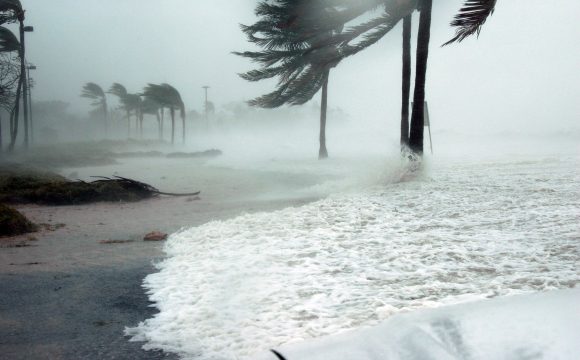
CUAHSI 2017 Hurricanes Data Archives
Data and ArcGIS Story Maps describing Hurricanes Harvey, Irma, and Maria.
HydroFrame
HydroFrame provides free tools and lesson plans to help students explore the way water moves in the subsurface and interacts with the surface. These HydroFrame resources are provided by Reed Maxwell.

Hydrologic Information System
CUAHSI's Hydrologic Information System (HIS) data portal provides access to nearly 100 data services, including over 3.5 million unique time series, from federal agencies, university researchers, and volunteer science groups through a single map interface, with all data returned in the same format.
HydroShare
HydroShare is CUAHSI's online collaboration environment for sharing data, models, and code.
The National Association of Geoscience Teachers - How Many People Can the Aquifer Support?
Interactive groundwater simulation and education that enables students to collect and analyze data.
Blogs & Community Support

Highly Allochthonous
Blog authored by Anne Jefferson (Dept. of Geology, Kent State University) and Chris Rowan (Dept. of Geology, Kent State University) offering news and commentary from the world of Geology and Earth Science.

Virtual Forum
Transitioning to the Online Classroom: A series of forums recorded in May 2020 providing tops, tricks, and feedback from professors, undergraduate, and graduate students about the transition to teaching online.